


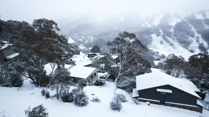
Australia’s brief period of warm, sunny weather is officially coming to an abrupt end as a powerful cold front surges from the Deep Southern Ocean.
This polar blast is expected to sweep across multiple states this week, bringing biting winds and significant snowfall to the south-east.
Authorities have warned residents in Tasmania, Victoria, and southern New South Wales to prepare for a drastic temperature plunge by Thursday as winter conditions take a firm hold.
In a significant shift, weather patterns will begin to deteriorate starting Wednesday as the cold system moves inland.
Forecasters have confirmed that following the arrival of the cold front, snow is expected to carpet parts of the Snowy Mountains in NSW, the Victorian Alps, and the Tasmanian Highlands.
Meteorologists highlighted that snow could fall at relatively low altitudes, reaching as low as 800 meters in some regions, particularly across Victoria and Tasmania.
Furthermore, a second reinforcing cold front is predicted to arrive Friday morning, intensifying the freeze and bringing stronger wind gusts.
This double-front system is expected to dump between 10 to 20 centimeters of fresh snow across major ski resorts in Victoria and NSW over a 48-hour period.
Meanwhile, the Tasmanian Central Plateau and parts of southwest Victoria could see accumulations of 3 to 8 centimeters, which experts say may be enough for light winter activities like sledding.
Major cities will not be spared from the chill, with Canberra expected to record a shivering maximum of just 8°C by Thursday. Hobart is forecast to hit 11°C, while Melbourne will struggle at 12°C.
Sydney, though slightly shielded, will feel a noticeable dip to 19°C. Forecasters advise residents to check heating systems and ensure vehicles are prepared for slippery conditions if traveling through highland passes.
In an advisory capacity, experts noted that while this cold snap will be intense, it is expected to be relatively short-lived.
Temperatures are projected to return to seasonal averages by the weekend.
However, travelers and residents are urged to monitor live updates and dress in layers to combat the wind chill, which will make temperatures feel significantly lower than the recorded figures.
Stay tuned to official weather channels as the situation evolves over the next 48 hours.






Thank you for being part of our community. Read our Comment Policy before posting.
Comments
Loading the conversation…