

The Met Office has named Storm Austen and issued a yellow warning for strong winds across much of south-west England and southern Wales from midnight until midday on Friday, October 23. Gusts above 70mph are possible on exposed coasts, while snow could fall on Scotland's highest ground over the weekend.
Met Office warns Storm Austen could bring 70mph gusts and Scottish snow risk
United Kingdom
Font
Article text size
English fonts
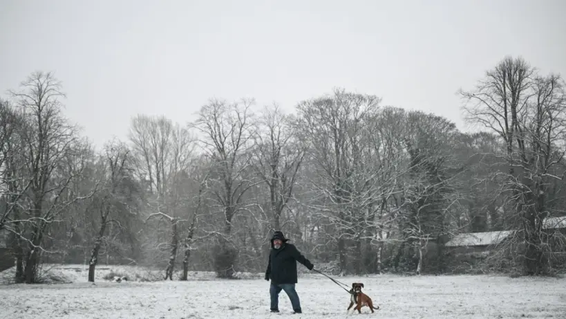
Storm Austen could bring strong winds to southern Britain and snow to high ground in Scotland.
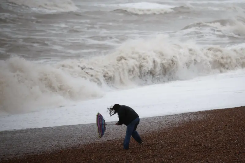
Storm Austen is expected to bring winds of 50mph to 60mph across much of the warning area, with stronger gusts possible along exposed coastlines. The warning covers most of south-west England and southern Wales as an impactful spell of weather approaches.
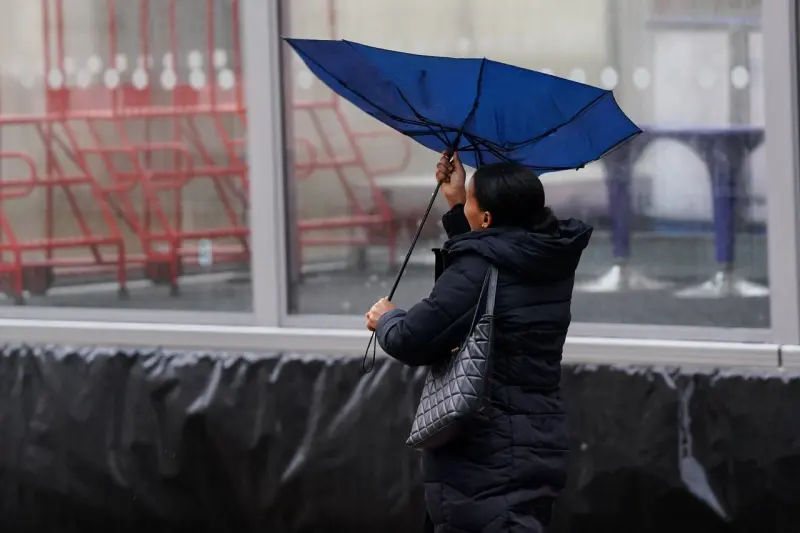
Met Office deputy chief forecaster Tom Crabtree said the storm's exact track and position were still being determined, meaning disruption was possible in some locations. “Peak gusts in excess of 70mph are possible on the most exposed coastal areas, while 50-60mph are likely more widely within the warning area,” he said. He urged people to monitor forecasts, as warnings could change once confidence in the track improves.
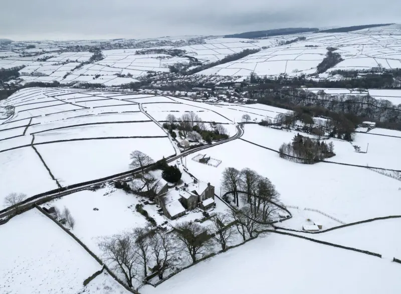
Rain and wind are also forecast to bring wintry showers to the highest Scottish peaks during the weekend. The Met Office said light snow is typical of autumn weather in Scotland. Heavy rain is expected to reach south-west England, Wales, northern England and Scotland from around midday on Saturday, with snow possible over higher Scottish ground.
The UK weather warning follows the declaration of severe drought in parts of southern England, including Cornwall, Devon, Dorset, Somerset, East Sussex and West Sussex. Water companies have been instructed to strengthen drought planning to protect public water supplies in those areas.
Persistent summer heatwaves depleted reservoirs and rivers, leaving exposed dry riverbeds as water levels fell. The heat also browned agricultural land, forests and fields. Farmers reported reduced yields, while livestock producers had to use winter feed because limited grass growth affected grazing.
The Met Office has linked the immediate Storm Austen forecast to projections for hotter, drier UK summers and warmer, wetter winters. It said seven of Britain's 10 hottest summers have been recorded since 200, while heatwaves are becoming more frequent and intense. Weather normally associated with summer could increasingly extend into September and further into the meteorological autumn, it added.
Average temperatures between 2016 and 2025 were 0.6C above the 1991-2020 average and 1.4C higher than the 1961-1990 level, according to the agency. The Central England Temperature series indicates winter temperatures so far this century have risen by about 1.5C compared with the 18th or 19th centuries. Air and ground frosts have both declined by about 25% since the 1980s.
Snowfall has not vanished, although substantial snow events and the average number of days with falling snow have declined, the Met Office said. It said cold spells remain possible in a warmer climate, and winter frosts and occasional significant snowfall will continue. Snow is generally more likely in January and February than December: during 1991-2020, snow lay for an average of three days in December, 3.3 days in January, 3.4 days in February and 1.9 days in March. The last so-called white Christmas was in 2023, when 11% of stations recorded falling snow.
The agency's early-November long-range forecast indicates occasional wet and windy periods, followed by drier but still showery intervals, with temperatures near or above average overall. Experts have also warned that El Nino, expected to intensify before peaking in December, could affect global weather patterns and disrupt the stratospheric polar vortex. Such disruption can weaken the jet stream and allow Arctic air to move south over North America and Europe, although a polar-vortex-driven cold spell is considered more likely later in winter than this autumn.
The Met Office said El Nino is likely to bring wetter and stormier conditions during the coming season, which could develop into winter cold snaps. British Gas advised households preparing for heavy snowfall to improve insulation, protect pipes, locate their stopcock and keep at least three days of food and essentials in an accessible part of the home.
What do you think of this story?
Share your reaction, or help us correct a detail.
Thank you for being part of our community. Read our Comment Policy before posting.
Comments
Loading the conversation…